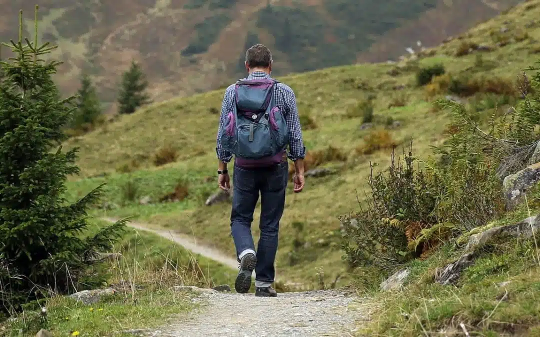
Napa Valley by Foot: The Best Hikes in Napa Valley
There is a very good reason to book an extra day in Napa Valley—get outdoors and take in Napa Valley’s extraordinary beauty. Because the region is, indeed, a valley, there are several opportunities throughout the mountain ranges and rolling hills to take a hike and drink in the incredible vistas.
We asked Yountville’s welcome center volunteer and very own hiking expert Chris McAuliffe for his favorite hikes in Napa Valley.
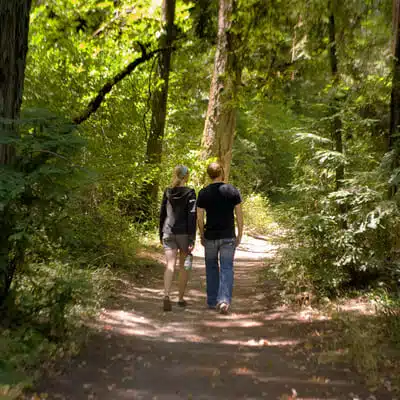
Bothe-Napa Valley State Park
Bothe-Napa Valley State Park captures a piece of Napa Valley history among its 1,900 acres. A visitor center gives a look back at Napa Valley in the 1800s and several trails provide a glimpse into an untouched Napa Valley native Redwoods. There are almost 10 miles of trails, in 12 different loops within the park, offering something for nearly every level of hiker. The moderately strenuous Coyote Peak Trail is the most popular, climbing 1.5 miles to the 1,170-foot peak for scenic vistas of the valley and hills. The 1-mile History Trail leads from the picnic area past the Pioneer Cemetery to Bale Grist Mill State Historic Park. In summer, a community pool is open on the weekends.
Difficulty: Various – Easy to Strenuous
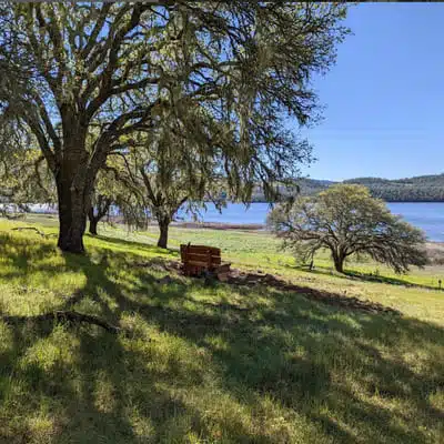
Moore Creek Park: Moore Creek Canyon & Lake Hennessey
Moore Creek Park is actually two connected spaces; it encompasses 673 acres of canyon open space with Moore Creek and 900 acres of oak woodland on the northeastern side of Lake Hennessey. Hikers, mountain bikers, equestrians, and nature lovers will find trails through the grassy hillsides of eastern Napa Valley, following the Moore Creek Canyon and along the Lake Hennessey shore. With several trails throughout this park to choose from, Moore Creek Park is a favorite among local hikers as well as mountain biking enthusiasts. These hikes are especially beautiful in spring when wildflowers takeover.
Difficulty: Various – Easy to Moderately Strenuous

Skyline Wilderness Park
Skyline Park is an 850-acre wilderness area at the southeast corner of Napa and there are more than 25 miles of trails for hiking and biking. Chris recommends the challenging, but approachable Lake Marie hike that is about 4.5 miles roundtrip by heading out on the Lake Marie road and then loop back via the stream trail. Before leaving Skyline Park, visit the Martha Walker Native Habitat Garden for a lesson in landscaping with native plants. No dogs are allowed at Skyline.
Difficulty: Moderate to Strenuous
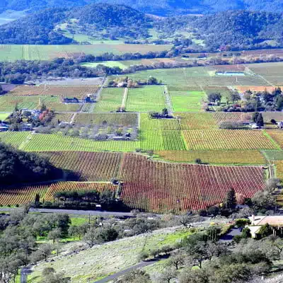
Rector Reservoir Ridge Hike
Rector Ridge extends about 2.5 miles east of Silverado Trail into the eastern hills of Napa Valley. While the trail is moderately steep and rough (1,100 elevation gain), it also offers some of the best valley and vineyard views of Napa Valley. In fall, Chris recommends planning an evening hike to catch the sunset and Napa Valley’s carpet of fall colors.
Difficulty: Strenuous
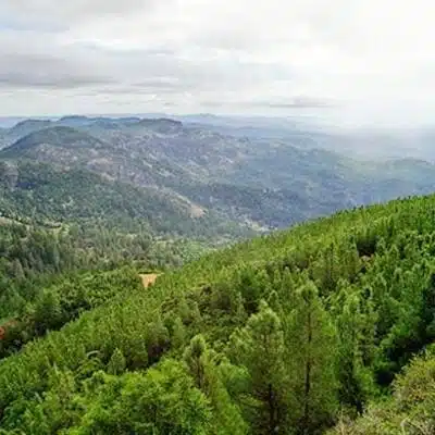
Mt. Saint Helena, Robert Louis Stevenson State Park
This 11-mile round trip hike with 2,100-foot elevation gain provides the ultimate in 360 views of Napa Valley, Sonoma County, and Lake County. Chris recommends tackling the accent in winter, when there is a possibility of snow on the summit. This is a favorite hike for locals on New Year’s Day.
Difficulty: Strenuous but Worth IT!
Note: Robert Louis Stevenson State Park has several other moderate to difficult level including Table Rock, the volcanic cliffs of the Palisades, and a connection to the Oat Hill Mine Trail.
Other Tips
Pack a picnic and bring plenty of water.
Wear sunscreen and sun protective clothing.
Wear sturdy shoes to manage uneven ground.
Never hike alone.
Additional Hiking Resources
Napa County Regional Park & Open Space District
Original blog updated: 9/20/2024


